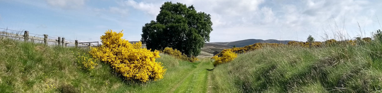
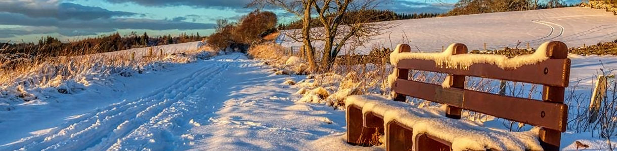
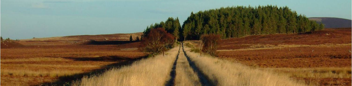
Creating the Dava Way Path
Early Years
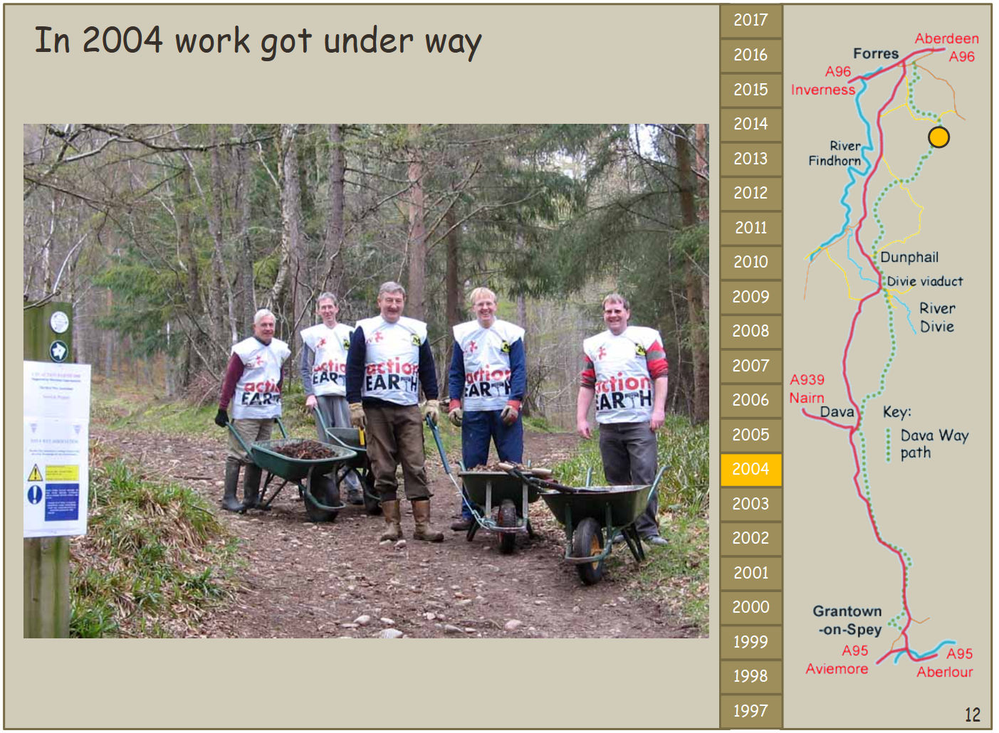
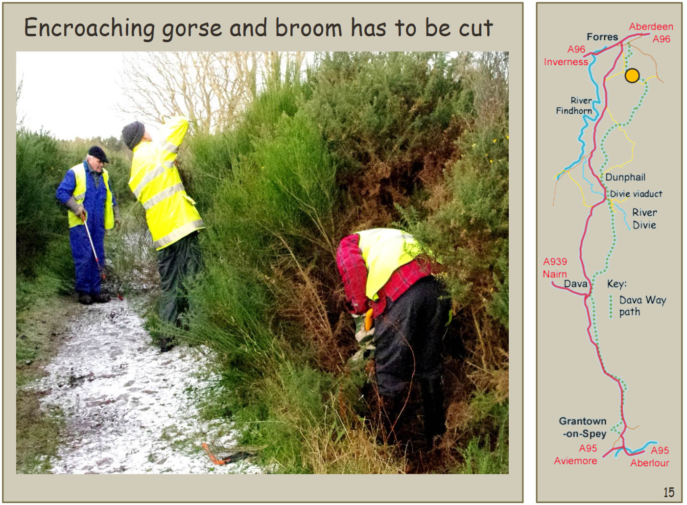
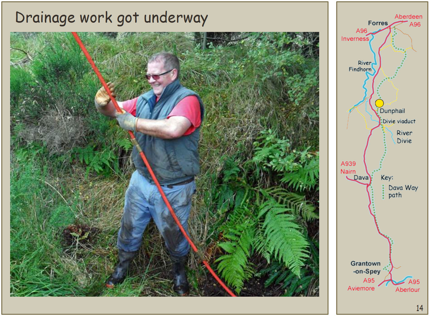
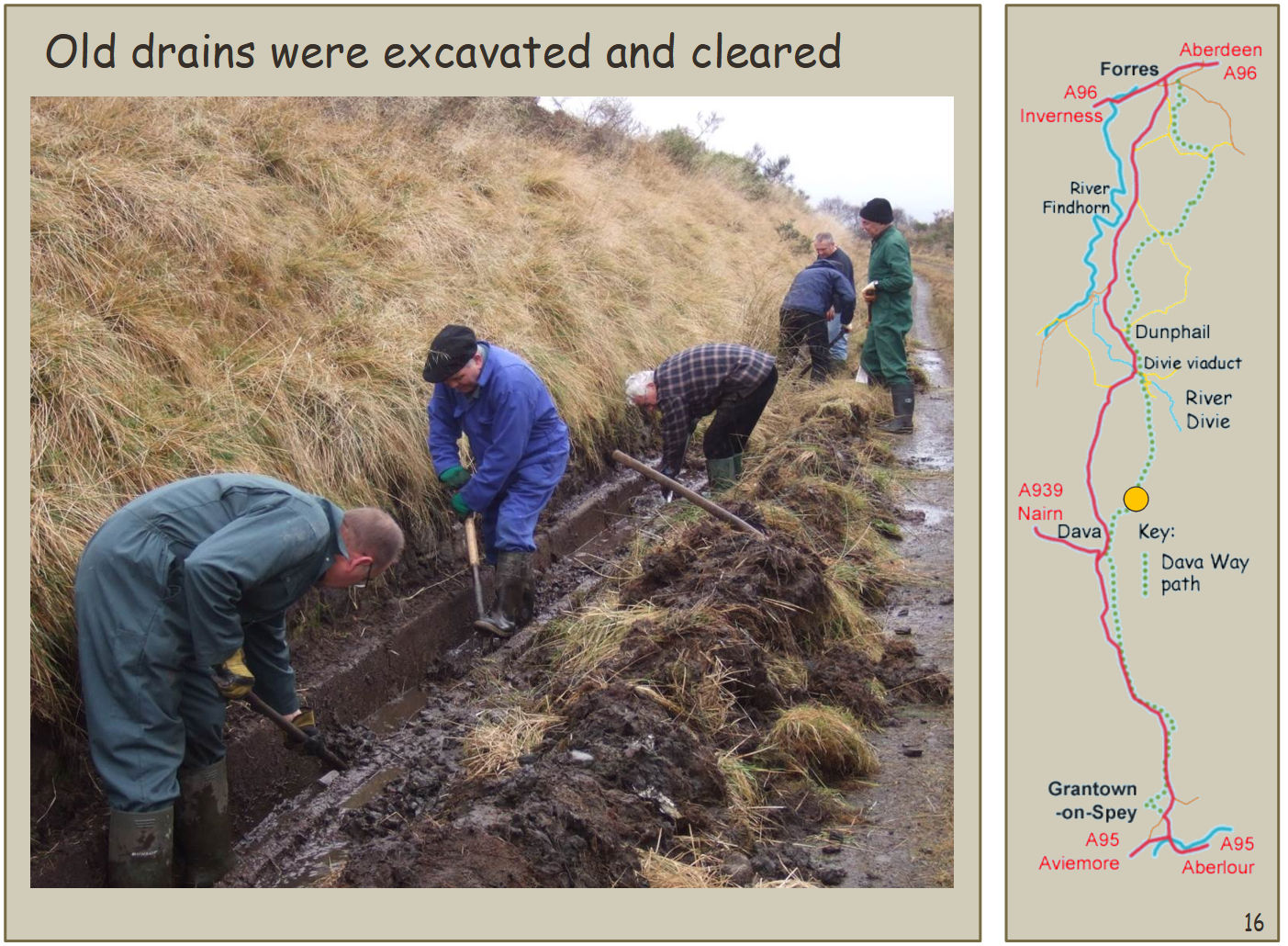
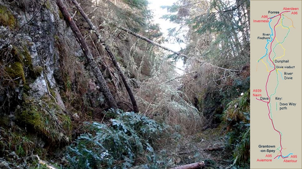
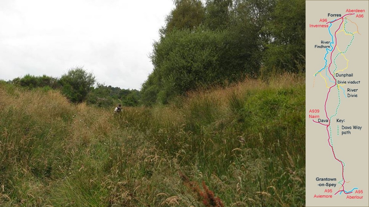
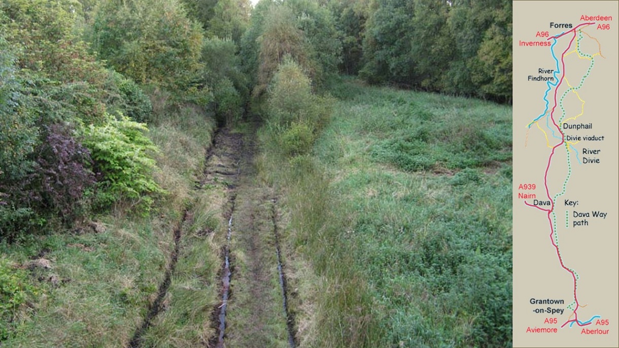
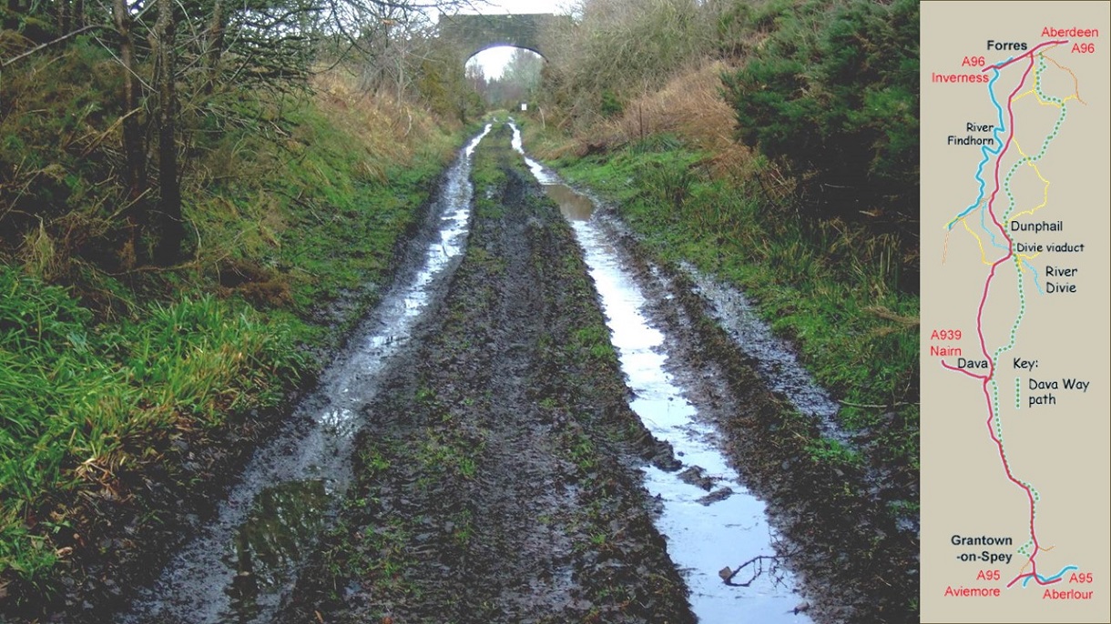
A 1996 survey of households in Forres and the surrounding area identified strong support for the development of a walking and cycling route along the disused railway line. The Dava Way Association was formed in June 1997 with the aim of establishing this walking and cycling route. It took six years of patient negotiation with the various landowners to obtain the necessary agreements for access and define the route that the Dava Way path should take. In 2003, work to clear the route could finally commence. By this point the disused railway line had been subject to almost 40 years of neglect. Some sections were still in use as estate tracks but others were nigh on impassable due to missing bridges, fallen trees and rocks, vegetation growth, accumulated mud and flooding from blocked drainage.
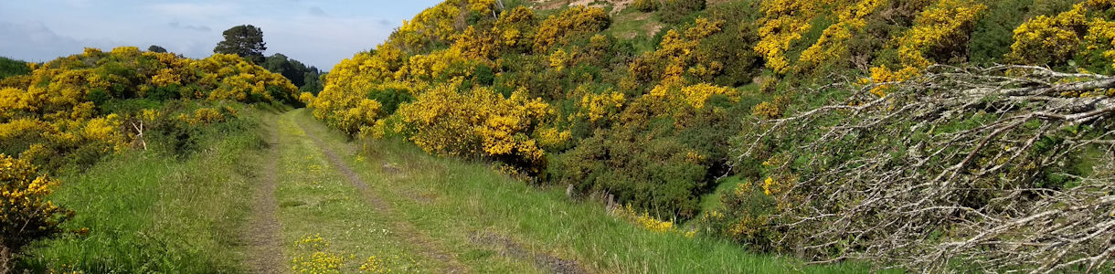
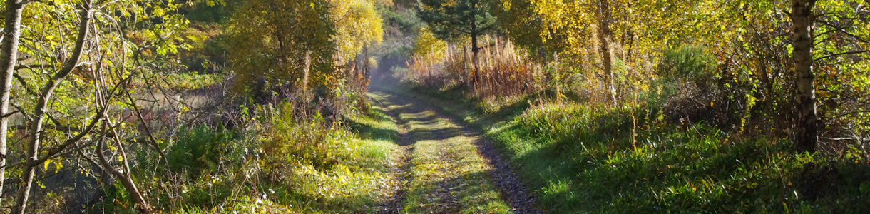
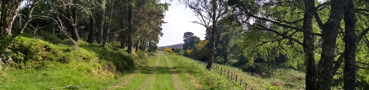
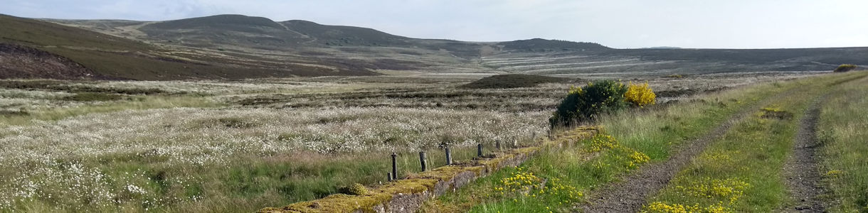
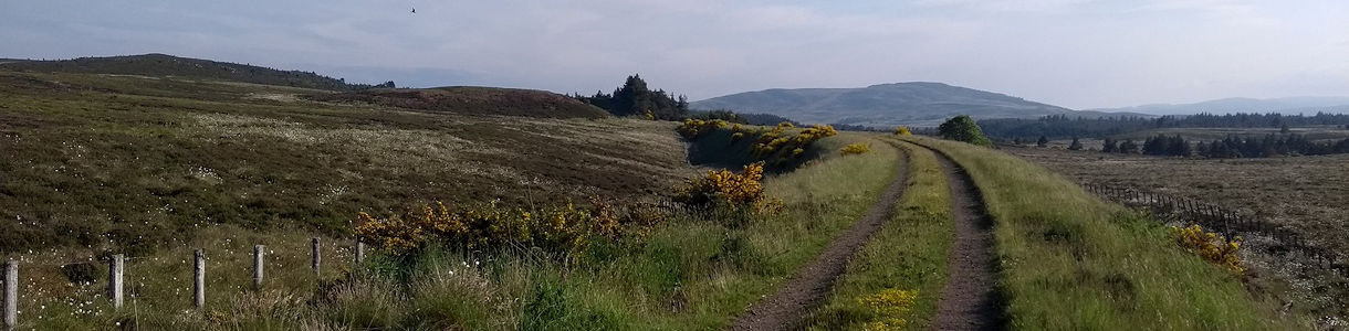
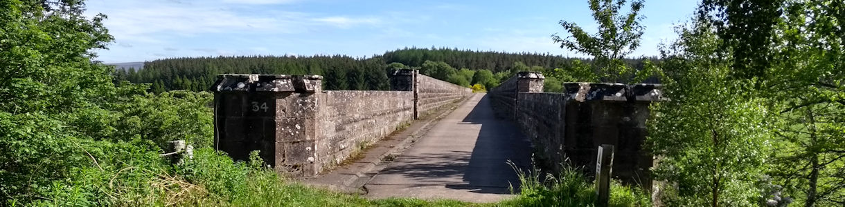
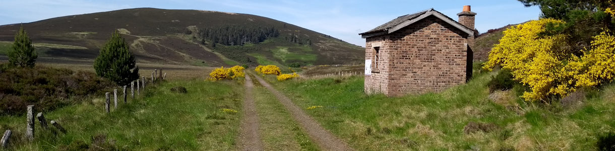
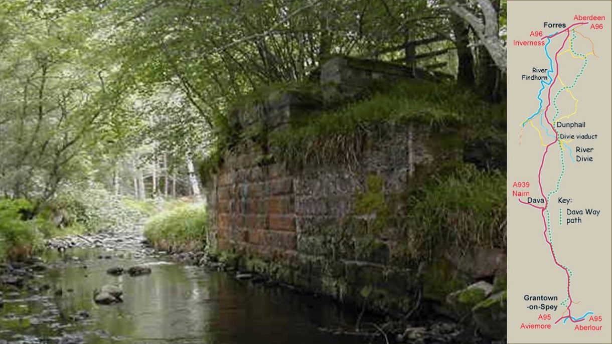
Below is a slideshow of photographs showing the path in 2003. The map on the right hand side of each image shows the location of each photograph. Click the arrows on the right and left of the slide to move through the slideshow.
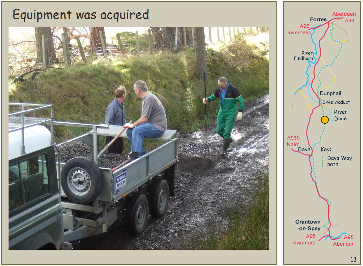
In 2003, work to clear the route could finally commence. A programme of monthly work parties was established, interspersed with ad-hoc mini work parties focused on progressing specific tasks. Funding for materials and equipment was obtained from various sources, including a series of small grants from the Community Service Volunteers: Action Earth programme. It took two years but in 2005 sufficient work had been completed to declare the route open, though a diversion around the Half Davoch road was necessary due to access restrictions and the state of the trackbed immediately north of Dunphail.